2D/3D mapping from Microsoft Live Maps
I can remember back when Yahoo! Maps launched, how amazing this was. Then there was TerraServer with satellite pics of the work, followed by google earth. But this is just too cool. Microsoft has taken their maps and 2D images and made 3D images of them. They recently added Miami (right around the Superbowl).
Here’s some pics of the Nap of the Americas. Applied Innovations hosts our servers in the NAP because quite honestly it was built from the ground up to withstand any disaster and remain operational. Today the NAP is not only home to our company but also the US Military Southern Command. For a little more on the NAP you can see (http://www.appliedi.net/network).
Now to the pictures (remember you can click on these to see the full size image)
Your standard 2D pictures
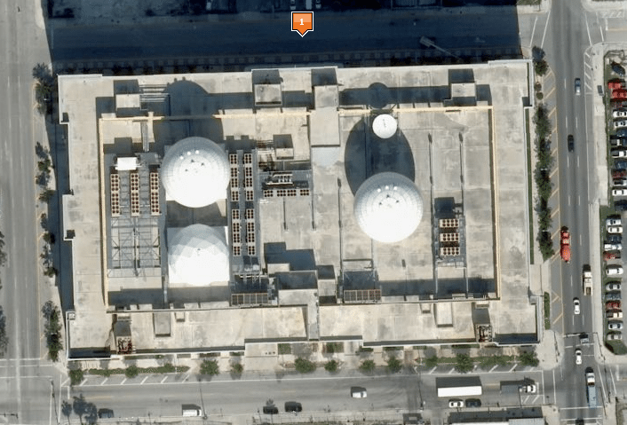
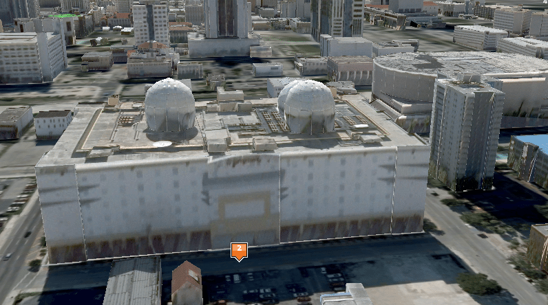
Your elevated 2D picture (those big balls on the roof are actually satellite dishes for the Government)

Your Microsoft Live 3D image (too cool!)
If you’re wondering what’s so cool about this 3D image, open this link in Internet Explorer and start zooming around.